
Purple Geospatial
Remote Sensing Done Right
Two fast, local geospatial apps.
PurpleGeo for point clouds. Purple Satellite for historical imagery and change over time.
PurpleGeo
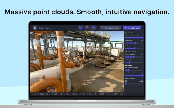
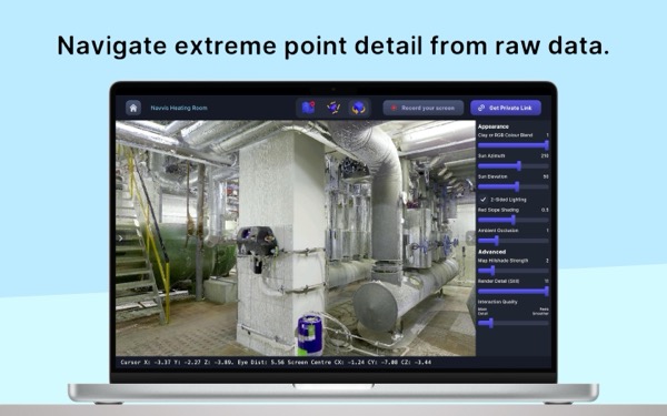
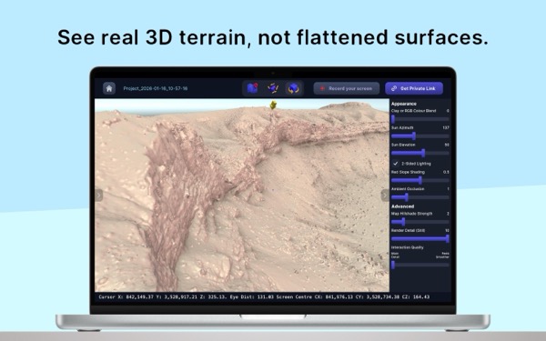
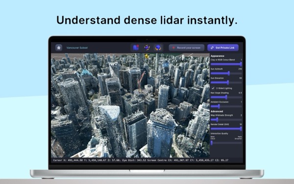
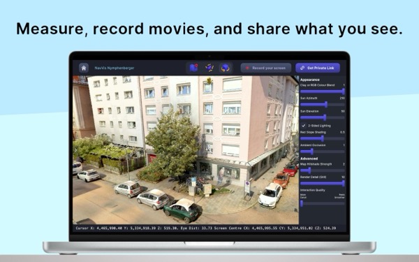
Point clouds without compromise
High-performance point cloud viewer built for engineers, surveyors, and geospatial professionals. Open massive LAS, LAZ, and E57 files locally — no uploads, no servers, no waiting. Your data stays on your device.
Available on Windows, Mac, and iPad


Runs locally, with no project uploads required
Instant distance, slope, and height measurements
Cross-section clipping and profiles
Terrain-anchored navigation keeps you oriented at every scale
GPU-accelerated rendering with PBR lighting
Elevation, intensity, and classification colour ramps
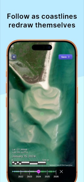
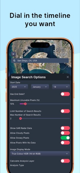
Purple Satellite
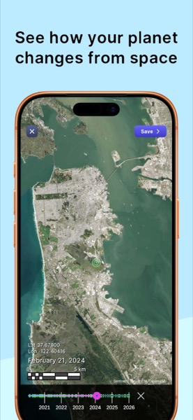
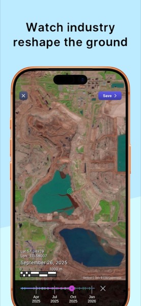
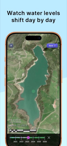
Know before you go
Explore decades of satellite imagery to understand site access, terrain context, and visible change over time.
Made for iPhone and iPad. Also on Windows, Mac, and Android.

Browse historical satellite imagery worldwide
Timelapse animations to track change over time
Scout remote sites before mobilising crews
Works on iPhone, iPad, Windows, Mac, and Android