Purple Satellite
Know before you go
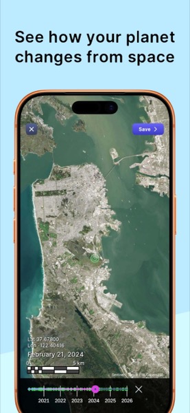
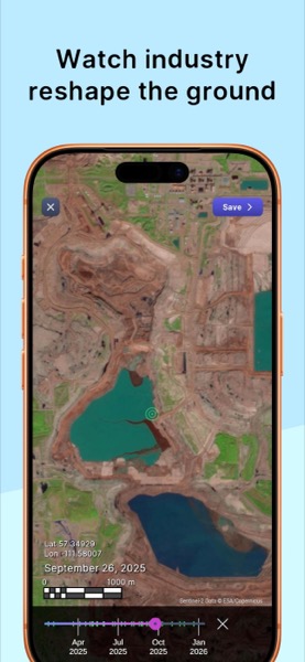
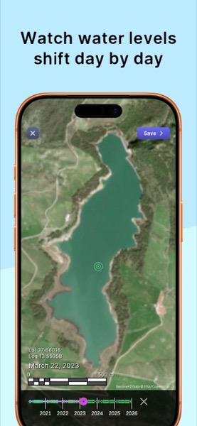
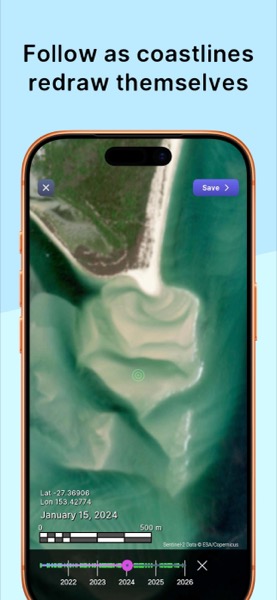
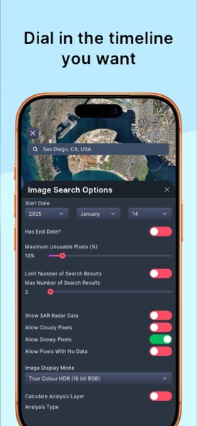
Explore decades of satellite imagery to understand site access, terrain context, and visible change over time.
Made for iPhone and iPad. Also on Windows, Mac, and Android.




Browse historical satellite imagery worldwide
Timelapse animations to track change over time
Scout remote sites before mobilising crews
Works on iPhone, iPad, Windows, Mac, and Android
Looking for a point cloud viewer instead? Try PurpleGeo.